Bandung City Government
The city of Bandung is located in the West Java region and is the capital of the Province of West Java. Bandung City is located between 107 0 East Longitude and 6 0 55' South Latitude. The location of Bandung Municipality is quite strategic, in terms of communication, economy and security.
Topographically, Bandung City is located at an altitude of 768 meters above sea level, the highest point in the North area with an altitude of 1,050 meters and the lowest in the South is 675 meters above sea level. In the southern part of Bandung Municipality, the land surface is relatively flat, while in the northern part of the city it is hilly so it is a beautiful panorama.
The geological and soil conditions in the city of Bandung and its surroundings were formed during the Kwartier era and have an alluvial layer of soil resulting from the eruption of Mount Takuban Perahu. The type of material in the northern part is generally andosol type, in the southern and eastern parts it consists of a gray alluvial distribution with clay sediment material. In the Central and West andosol species spread.
The climate of Bandung is influenced by a humid and cool mountainous climate. In 1998 the average temperature was 23.5 o C, the average rainfall was 200.4 mm and the average number of rainy days was 21.3 days per month.
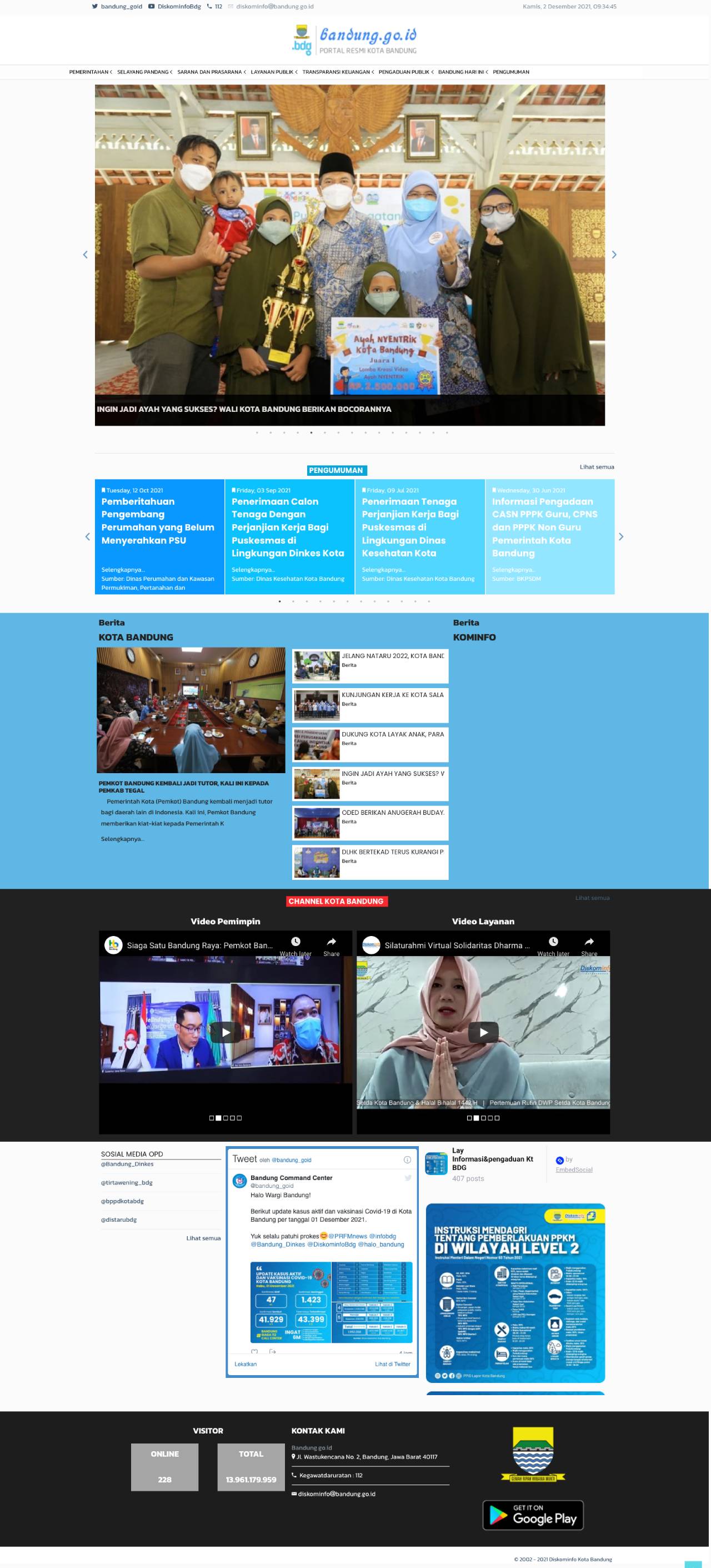
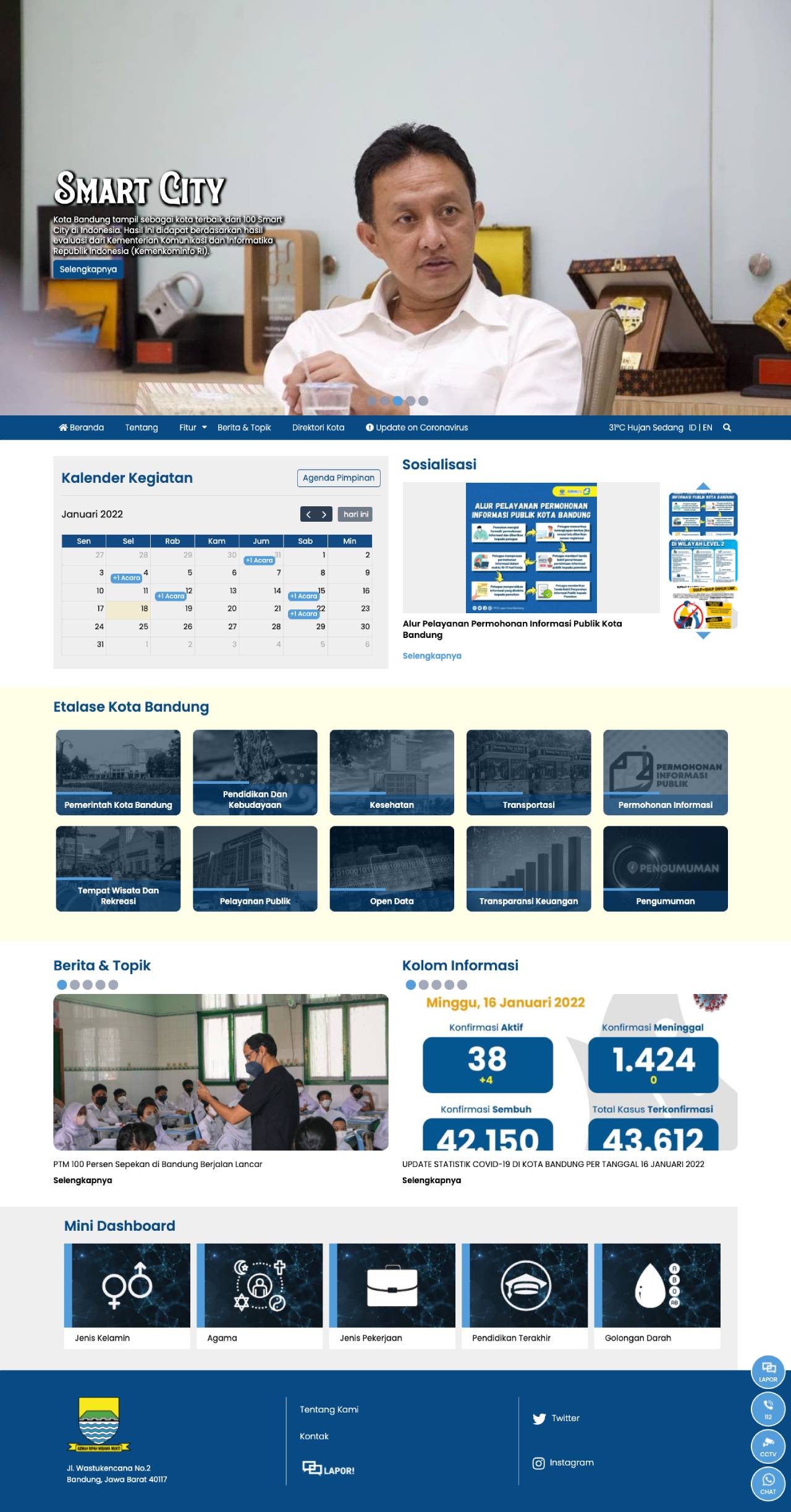
Digital Nusantara Advertising is trusted to change the www.bandung.go.id website to be more modern and comfortable to open on Desktop or Mobile. This website displays information about Government Profiles, Government Activities, Text/Photo/Video News, History of Bandung City, Data Information, Food tourism and many more. This website is also equipped with Indonesian and English language options.
Here's what the website looks like before repairing

Then, according to the discussion with the Bandung City Government team, we made improvements from the back-end and front-end


